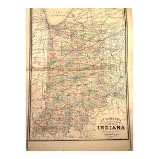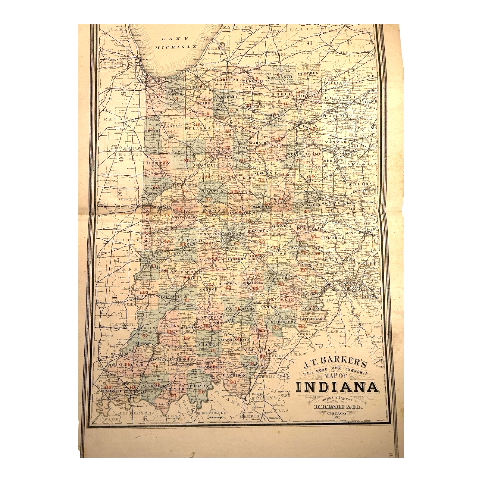
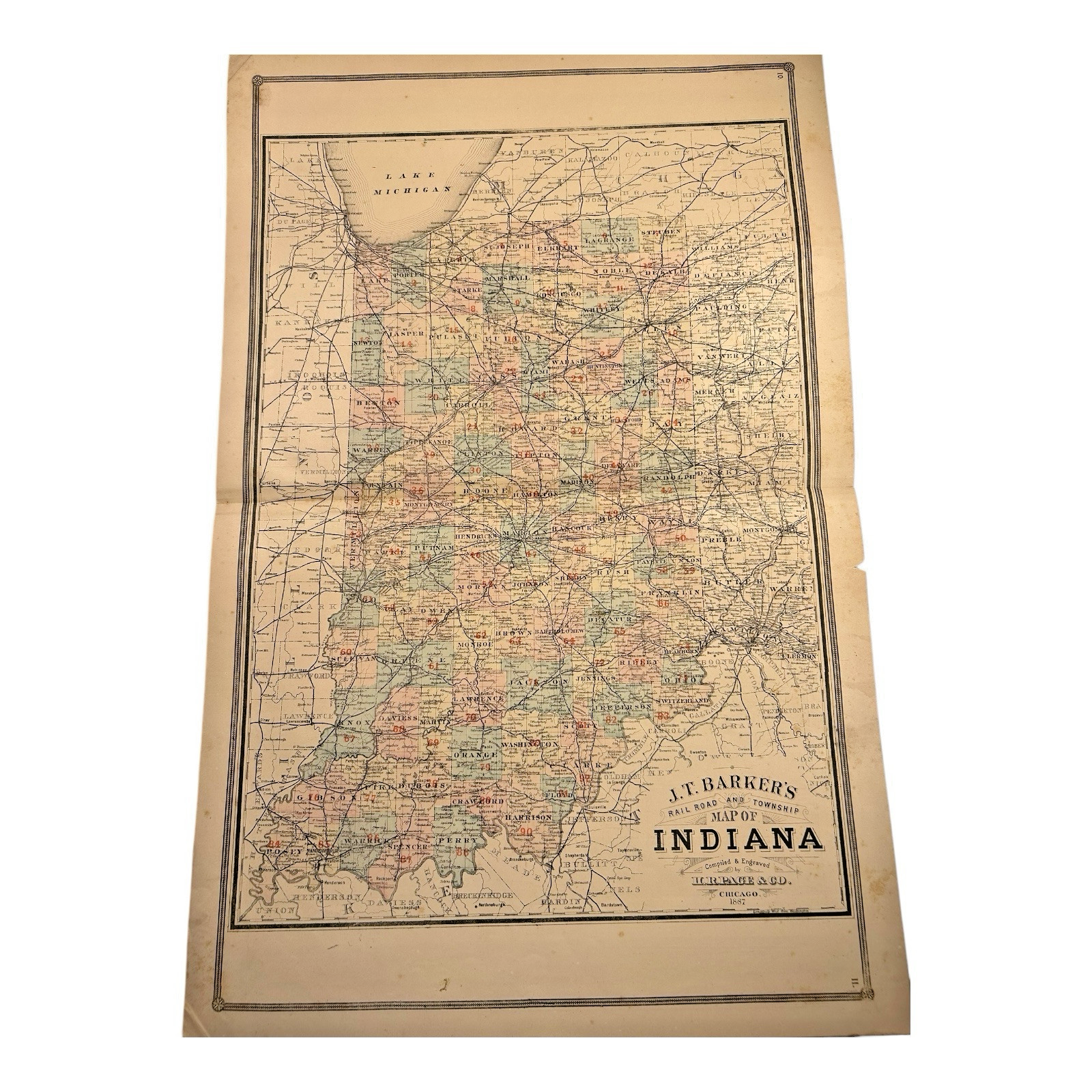
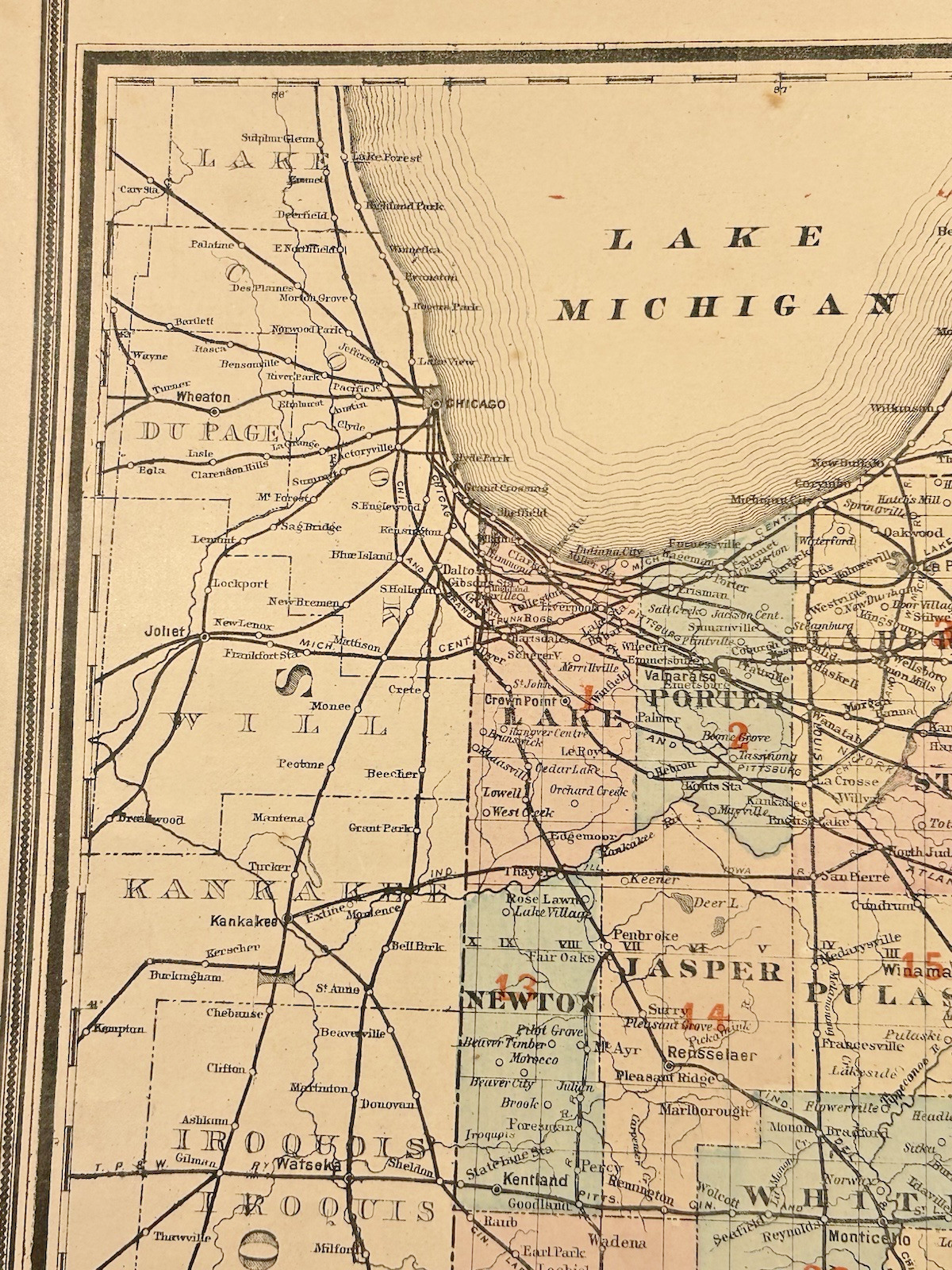


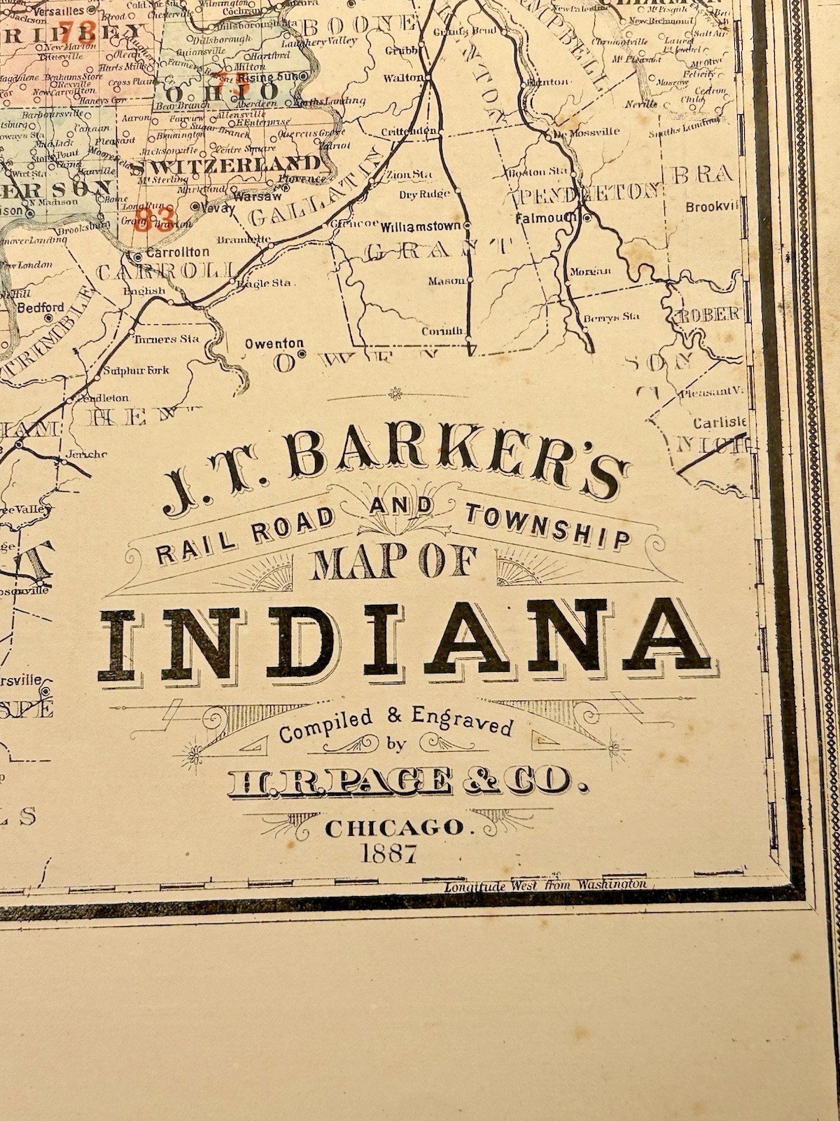
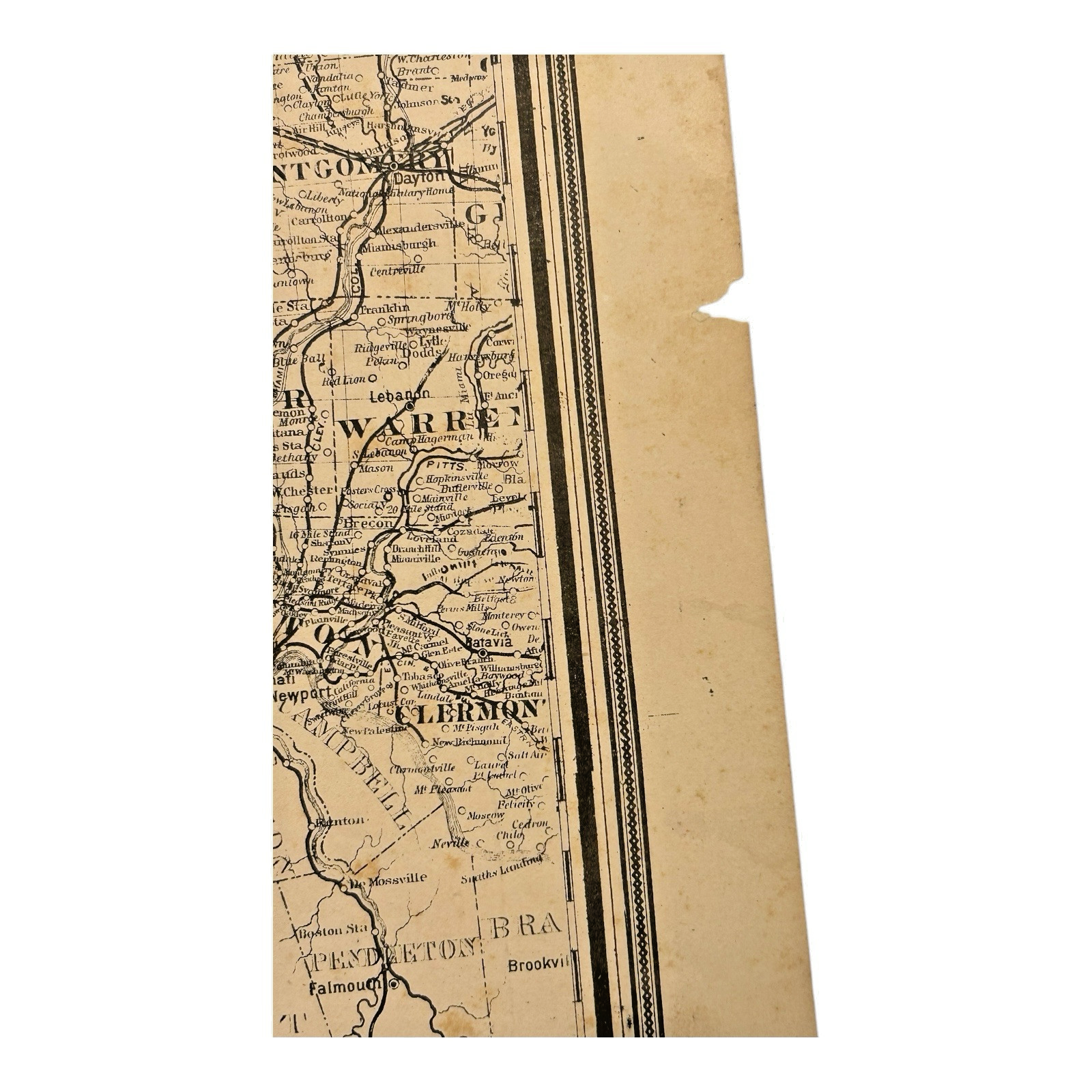
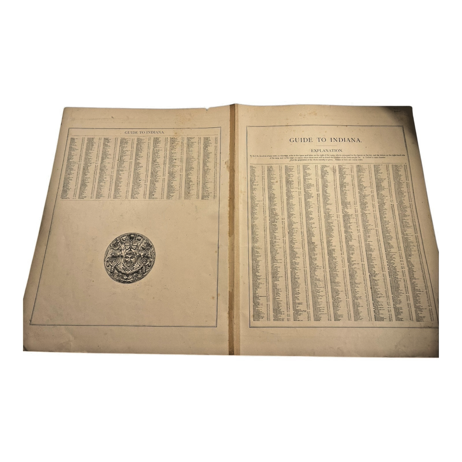

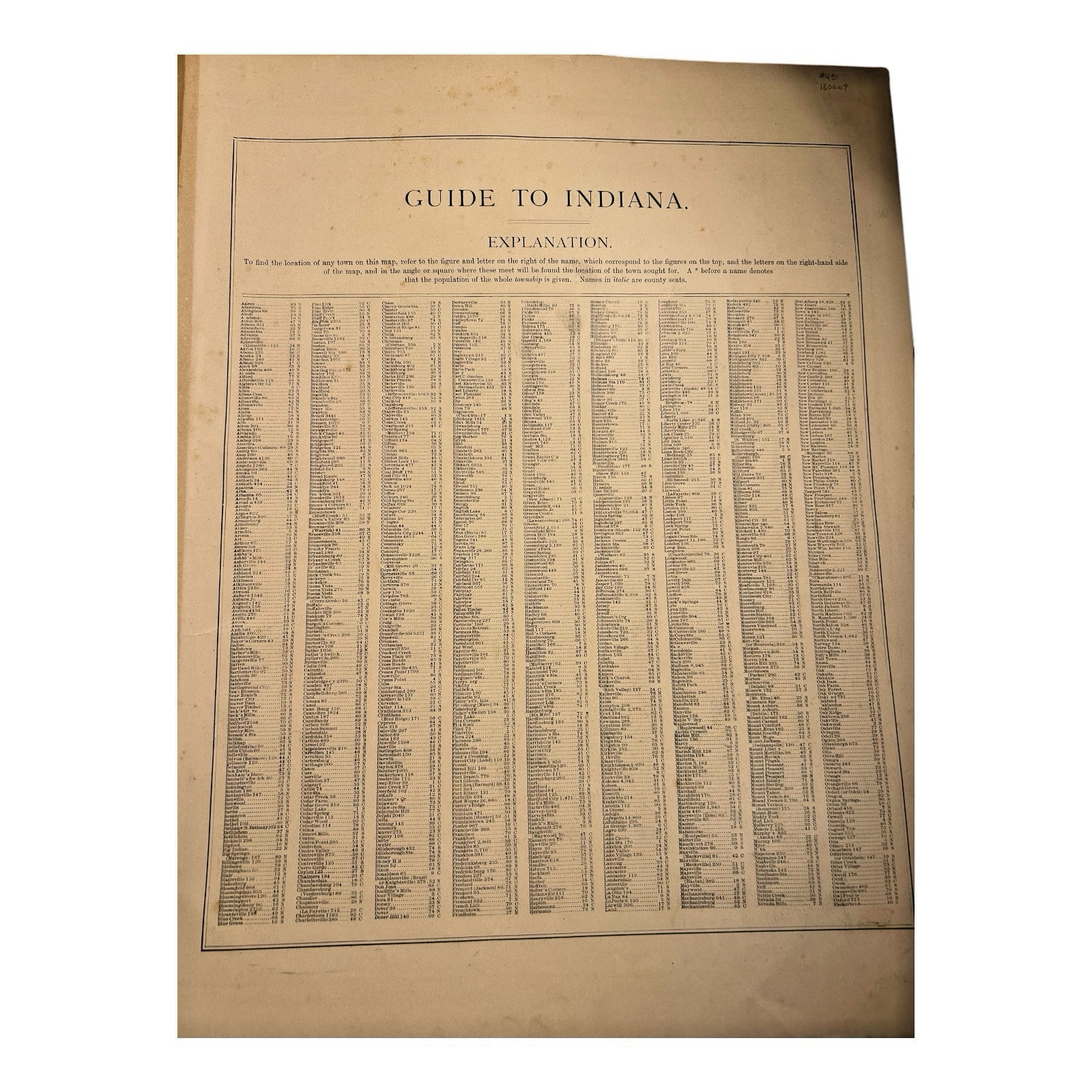
Antique 1880s J.T. Barker Railroad Map of Indiana – Colored Transportation Map
$195.00
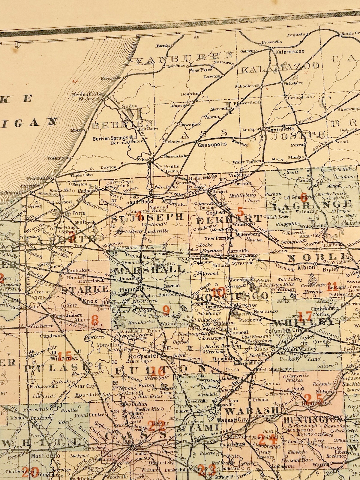
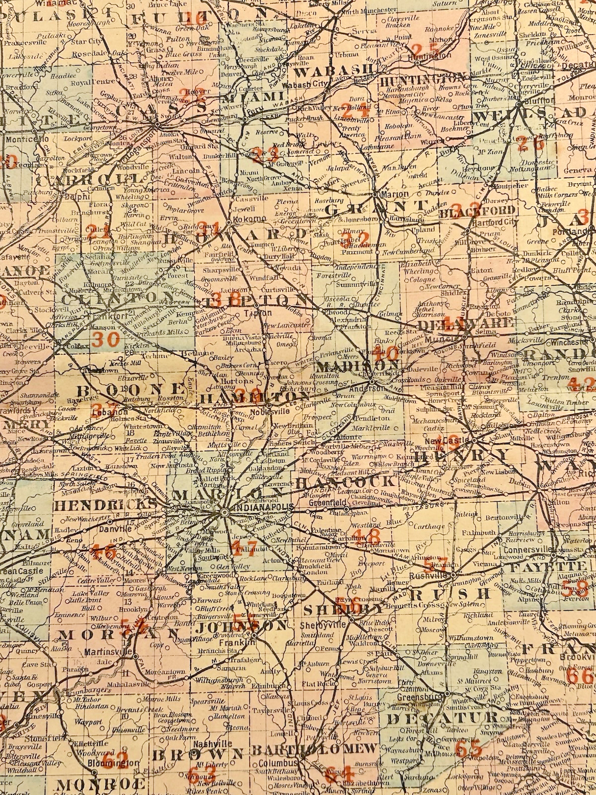
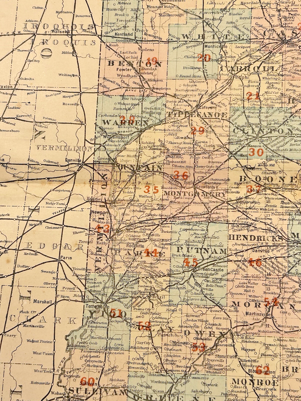
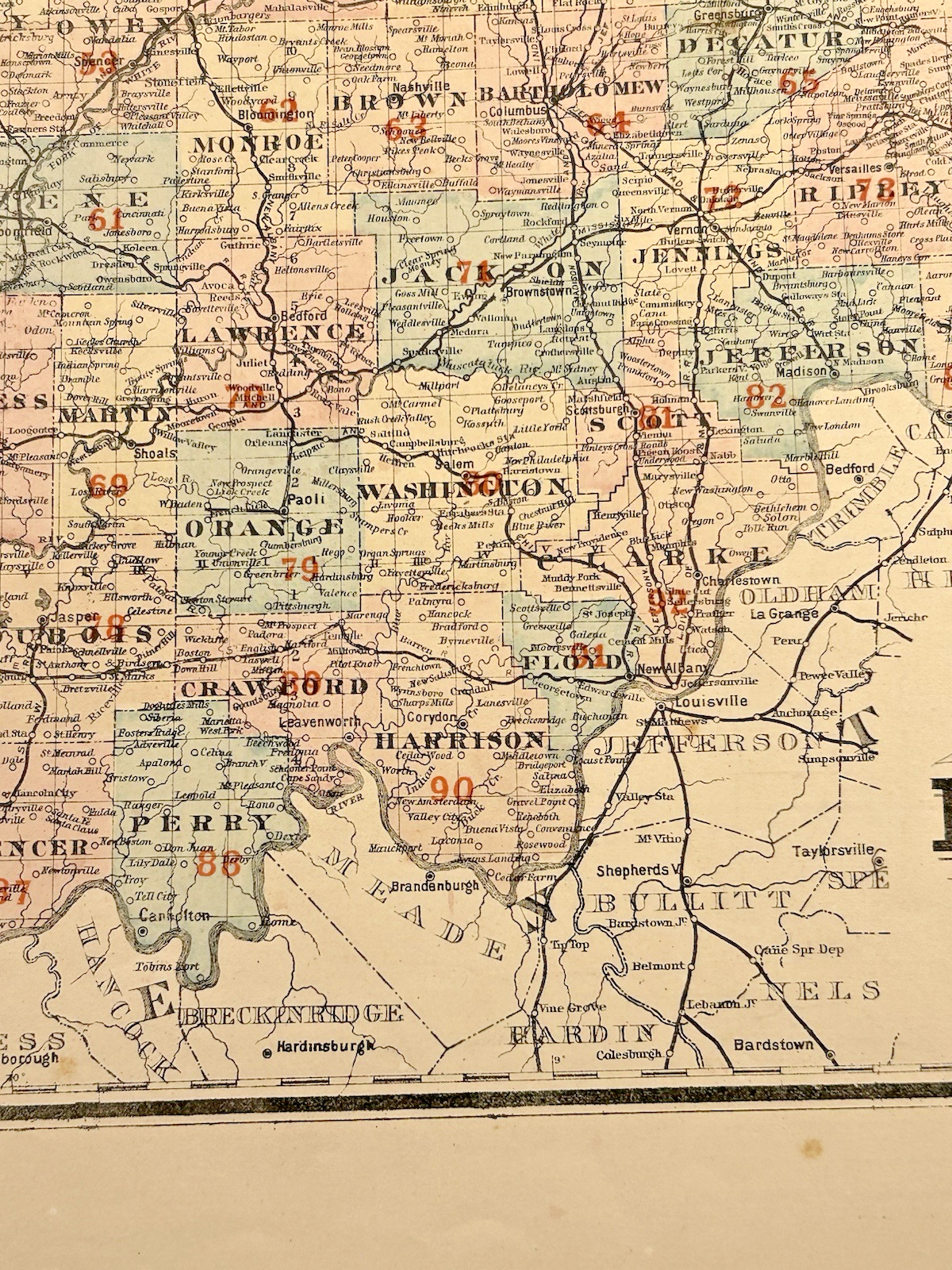
This antique railroad map of Indiana by J.T. Barker, dating to circa 1887, offers a detailed and historically rich view of the state’s extensive railway system during the late 19th century. With intricate linework and fine typography, it reflects the critical role railroads played in the growth of industry, commerce, and transportation across the Midwest. A compelling piece of American cartographic history, this map is ideal for collectors of railroad memorabilia, vintage maps, or Indiana heritage.
- Condition: Good overall condition; general wear, nick to edge; kindly see photos
- Measurements: 27.5 inches tall, 18 inches wide
- Dates to: Circa 1887
- Signed: N/A
1 in stock
Related products
-

Antique Hand Carved Baule Tribal Art Heddle Pulley
$90.00 Make an Offer Add to cart0 likes -

Antique Hand Made Native American Beaded Sash
$200.00 Make an Offer Add to cart0 likes -
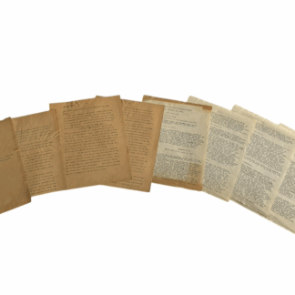
Antique Political Campaign Documents William Taft – Roosevelt Endorsement
$100.00 Make an Offer Add to cart0 likes -

Antique Hand Made Native American Beaded Sash
$400.00 Make an Offer Add to cart0 likes